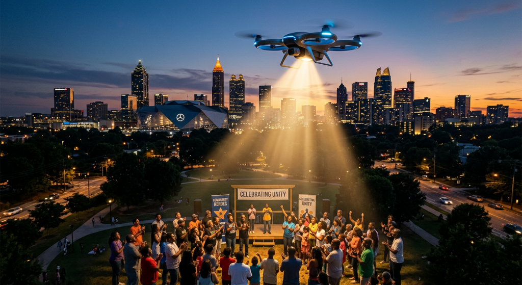
Atlanta’s skyline is no longer just steel and glass. Increasingly, it is watched by something quieter, smaller, and harder to see: drones.
Marketed as tools of efficiency and public safety, unmanned aerial systems have rapidly expanded across metro Atlanta’s law enforcement and transportation agencies. Officials describe them as life-saving innovations—machines that arrive faster than patrol cars, map chaos from above, and reduce risk to first responders. But beneath that narrative lies a more complicated reality: while drones are tightly regulated in official use, criminal exploitation is rising, and the systems designed to protect the public may not yet be equipped to protect the innocent.
A Controlled Expansion—On Paper
Public agencies across metro Atlanta have drawn clear boundaries around how drones are used. Unlike some national perceptions, drones are not deployed to monitor speeding drivers across city highways.
Instead, their use is narrowly defined:
- Emergency response: Drone as First Responder (DFR) programs in cities like Brookhaven, Dunwoody, and Forest Park dispatch drones directly to 911 calls, often arriving before officers.
- Accident and disaster assessment: The Georgia Department of Transportation (GDOT) operates drones to map crash scenes, assess storm damage, and monitor construction zones.
- Criminal investigation: Drones provide overhead intelligence during active incidents, helping coordinate response without placing officers in immediate danger.
Officials emphasize these systems are reactive, not proactive. They do not patrol neighborhoods autonomously or scan for violations without cause.
Yet even within Georgia, that restraint is not universal. In Bryan County, for example, law enforcement has experimented with high-zoom drones to detect distracted driving—flagging seatbelt violations or phone use and relaying that information to officers on the ground.
The contrast raises a central question: if drone capability exists, what limits its expansion—and who ensures those limits are respected?
The Criminal Shadow Market
While public agencies emphasize restraint, criminal actors are showing no such hesitation.
Across the United States, drones have increasingly been used in criminal operations—smuggling contraband into prisons, conducting surveillance before burglaries, and, in some cases, delivering weapons or narcotics. Atlanta, a major logistics and transportation hub, is not immune to these trends.
Law enforcement sources and regional reporting indicate several emerging patterns:
- Pre-crime surveillance: Drones are used to map properties, track routines, and identify vulnerabilities without detection.
- Event targeting: Large public gatherings—concerts, festivals, protests—create opportunities for aerial reconnaissance by bad actors.
- Contraband delivery: Though more documented in correctional facilities elsewhere, the Southeast has seen attempts to use drones to bypass traditional security perimeters.
Unlike police-operated drones, these devices are unregulated, anonymous, and often disposable.
The imbalance is stark: law enforcement drones are logged, restricted, and policy-bound; criminal drones are not.
The Evidence Gap
This asymmetry creates a deeper issue within the justice system—one that extends beyond technology.
Drone footage, whether from police or civilians, is increasingly entering the evidentiary chain. But its interpretation is not always straightforward. Angles distort perception. Resolution varies. Context can be missing.
In wrongful arrest and excessive force cases nationwide, video evidence has proven both decisive and misleading. Aerial footage, while expansive, can flatten nuance—turning complex human interactions into simplified narratives.
This is where systemic risk emerges:
- Selective visibility: What the drone captures may not reflect the full sequence of events.
- Narrative bias: Footage can reinforce initial police interpretations rather than challenge them.
- Access inequality: Defendants often lack equal access to aerial data or the resources to contest it.
In a justice system already grappling with disparities, technology risks amplifying—not correcting—existing imbalances.
GoVia Highlight A Hero: A Counter-Narrative System
Against this backdrop, initiatives like GoVia Highlight A Hero position themselves as a corrective layer—an attempt to rebalance how truth is documented and understood.
Rather than focusing solely on enforcement, GoVia’s model centers on capturing, verifying, and amplifying moments that traditional systems overlook—particularly those involving civilians who act lawfully or heroically in high-stakes situations.
Its relevance in a drone-enabled landscape is significant:
- Multi-source validation: By integrating civilian footage, eyewitness accounts, and contextual data, GoVia can counter single-angle narratives.
- Real-time documentation: In incidents involving drones—whether police-operated or criminal—parallel documentation helps preserve a fuller record.
- Protection of the innocent: Individuals wrongly suspected or mischaracterized in aerial footage gain a mechanism to present alternative evidence.
In effect, GoVia operates as a form of decentralized accountability—one that does not replace official systems but challenges their completeness.
A System at a Crossroads
Metro Atlanta illustrates a broader national tension.
On one side is a disciplined, policy-driven use of drones by public agencies—focused on safety, efficiency, and response. On the other is a rapidly evolving landscape where the same technology is used unpredictably by private individuals and criminal networks.
Between them lies the justice system, tasked with interpreting increasingly complex forms of evidence.
The question is no longer whether drones belong in public safety—they already do. The question is whether the systems surrounding them are robust enough to ensure fairness.
Because in the space between what is seen from above and what actually happens on the ground, the truth can either be clarified—or lost.